
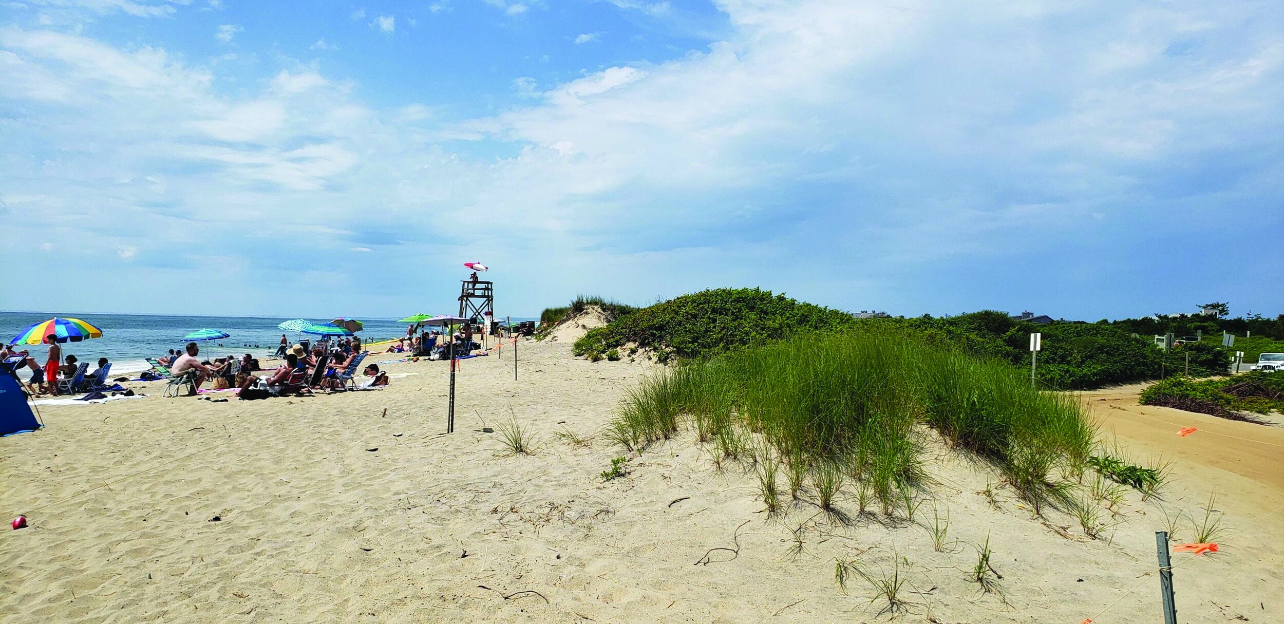
Beaches
With nearly 200 miles of beaches and dunes, Martha’s Vineyard, Nantucket, and the Elizabeth Islands [CIT. 4] are iconic Massachusetts destinations for tens of thousands of summer visitors. They also represent globally significant ecosystems that protect inland areas from storms. These are naturally fragile and dynamic sandy places, where winter storms erode what summer currents try to gradually restore. Climate change, however, is disrupting this natural rhythm with sea level rise and stronger storms that will accelerate the deterioration of these landscapes — and many others.
We appreciate the need to balance public access with land protections, which involves both managing expectations and following best practices. We also understand this is not the time nor are these the places for massive interventions, but we still need to act. When it comes to beaches, evidence suggests we need to let them migrate landward and restore them where it makes sense.
WHAT THE DATA SHOWS
Our island beaches experience some of the highest erosion rates statewide, based on a review of erosion data [CIT. 5]. Some locations also have high accretion rates. The historic landward migration, with particularly significant losses on south- and east-facing sands, is now projected to occur at unprecedented rates. These changes to beaches may happen gradually but, as any Islander knows from winter storms, they can also occur virtually overnight. Consider:
BEACHES MIGRATE Norton Point, a 2.5-mile barrier beach of sand and dunes, may be open ocean by 2070. It has already migrated to the north more than 1,500 feet since 1897 [CIT. 5]— a distance longer than the Empire State Building is tall.
BEACHES ERODE Martha’s Vineyard beaches have lost more than 1,400 acres since 1897, and Nantucket nearly 1,900 acres. A section of Nantucket’s southwest coast, from Madaket to Hummock Pond Road receded about 1,450 feet since 1887 [CIT. 5]. FEMA predicts the coast may erode another 1,350 feet by 2100 [CIT. 10].
BEACHES DISAPPEAR FEMA modeling of future coastal erosion on the Islands predicts up to 3,000 acres of beachfront is at risk of eroding by 2050 [CIT. 10].
The expense and short-term nature of sand nourishment techniques, the vulnerable geology of the Islands, and the increasing fury of Mother Nature, means making hard choices: Which beaches can or should we protect? Which ones should we let go? And does intervening for some adversely impact others?
LOOKING AHEAD
With sand constantly shifting, it’s critical to consider island communities as a whole in developing light touch, nature-based strategies. We need to work on effective short-term beach interventions and target areas that can provide multiple public benefits. Let’s discuss:
CREATING PATHWAYS FOR MIGRATING BEACHES When development or protective barriers like seawalls block a beach, it has no place to go. The sand erodes offshore or moves downdrift. Removing seawalls can allow a beach to migrate inland, but also places nearby buildings in a vulnerable position. Adaptations on developed beaches such as moving or elevating buildings may be costly. Retreating from migrating beaches or conserving undeveloped land areas behind beaches can allow natural beach migration to occur with impacts to both development and beaches.
MANAGING SEDIMENT We need to collectively direct material to its highest and best uses once we understand how, where, and why sediment is moving. Then we can prioritize and pair dredging projects with specific areas based on that data, erosion patterns, flood projections, and priority needs.
ALLOWING BARRIER BEACHES TO CHANGE These highly dynamic resource areas can both breach and repair, providing natural protection from waves and surge. It’s best to let them change without intervention, in both undeveloped and developed areas.
RESTORING BEACHES AND DUNES We can nourish beaches with more sand or rebuild dunes when storms damage beaches, but we need to be smart and strategic about it: Where? When? At what cost? And for how long? Do we respond reactively or think long-term? For instance, in a matter of weeks, Edgartown pulled an emergency permit for dredged sand to replenish a storm-ravaged South Beach and protect Atlantic Road. In contrast, on nearby Norton Point Beach, The Trustees, Dukes County, and Edgartown are working together on a longer-term restoration project to build overall resiliency and provide improved protection for public access, habitat, and surrounding land.
SOURCING SAND Strategies like sand renourishment may only go so far. Sand supplies are limited and expensive (about $25 per cubic yard on the Islands), and at times need to be imported. It cost more than $1 million to replenish 1,500 feet of Lobsterville Beach in Aquinnah, and restoring a small dune can cost a few hundred thousand dollars after extensive permitting and design. Offshore sand is far more plentiful, but we need to discuss on a broad, island-wide basis if that option is financially, legally, and ecologically sound — or if other options exist.
CREATING ARTIFICIAL REEFS AND LIVING SHORELINE SILLS These structures, in a variety of permutations, are being deployed worldwide to reduce wave energy, prevent beach erosion, and provide habitat for shellfish and other organisms. They have less impact on longshore processes than hard structures and may be effective for moderate wave environments. But the size of reef needed for our south-facing Island shorelines is likely not feasible or permittable. Together, we need to think about how to adapt or innovate future-facing strategies to fit our common needs.
HISTORIC EROSION: NORTON POINT BEACH, EDGARTOWN, MARTHA’S VINEYARD [CIT. 5]
Norton Point Beach lost 74 acres between 1897 and 1994. Yet more recently, between 1994 and 2018, the beach has lost 93 acres — 25% more acreage in less than 30 years